Totally nothing to do with the Rio Grande-case, but I find it interesting seeing how borders are drawn when time goes on. Look at the original 13 states in the US. Lines are squiggly, and made with care after the terrain. Then, some time has passed, and the US started to grow eastwards. Then the borders were made quickly with rulers.
You see the same in Australia. NSW and Victoria is a bit squiggly for a while, but then the colonisers said “hand me the fucking ruler, cunt!”
One time there was also an island that appeared in the Rio Grande that some people claimed as another country with a flag and everything. The US military kicked them off of it.

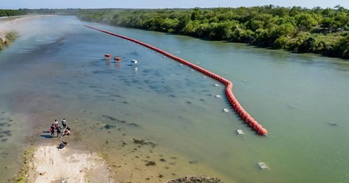
How does that figure when the river changes course? Does texas/mexico suddenly have more/less land and everyone’s chill?
Totally nothing to do with the Rio Grande-case, but I find it interesting seeing how borders are drawn when time goes on. Look at the original 13 states in the US. Lines are squiggly, and made with care after the terrain. Then, some time has passed, and the US started to grow eastwards. Then the borders were made quickly with rulers.
You see the same in Australia. NSW and Victoria is a bit squiggly for a while, but then the colonisers said “hand me the fucking ruler, cunt!”
Yeah, pretty much.
One time there was also an island that appeared in the Rio Grande that some people claimed as another country with a flag and everything. The US military kicked them off of it.