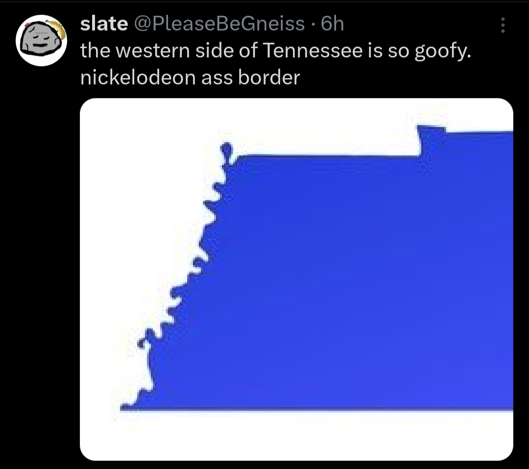
I think most rivers look like that given enough time and erosion. I don’t remember the explanation but I half remember reading that just about any curvy river has carved its riverbed into that shape over very long periods.
water moves faster along the outer bends, giving it an increased capacity for carrying sediments. this results in erosion happening faster near the outer curves. on the other hand, water is slower near the inner bends, forcing the sediments carried by the river to deposit there. this interaction makes the rivers more bendy. an interesting result of this phenomenon is the formation of oxbow lakes (those c-shaped bodies of water separated from the main river)


Does a river run along that goofy looking border?
Yes. But the border is drawn where the river used to be.
Yup, the Mississippi
Rivers are almost always the culprit of goofy looking boarders
I think most rivers look like that given enough time and erosion. I don’t remember the explanation but I half remember reading that just about any curvy river has carved its riverbed into that shape over very long periods.
water moves faster along the outer bends, giving it an increased capacity for carrying sediments. this results in erosion happening faster near the outer curves. on the other hand, water is slower near the inner bends, forcing the sediments carried by the river to deposit there. this interaction makes the rivers more bendy. an interesting result of this phenomenon is the formation of oxbow lakes (those c-shaped bodies of water separated from the main river)
These videos explain how rivers move and how hard it is to control or predict what they’ll do.
https://youtu.be/UBivwxBgdPQ
https://youtu.be/vLZElIYHmAI
Indeed. Also the little balloon shaped thing in the north west is actually part of Kentucky, but separated from the rest of the state by the river.